STATEN ISLAND NEIGHBORHOODS
CLICK on the various North Shore neighborhoods when searching for Staten Island real estate properties and find the perfect neighborhood to compliment your lifestyle. Staten Island is made up of many diverse neighborhoods. New York City’s greenest borough is abundant with parks, culture, arts, shopping, restaurants, and new development. Many North Shore neighborhoods are conveniently located close to Manhattan, which is a free ferry ride away.
Fort Wadsworth
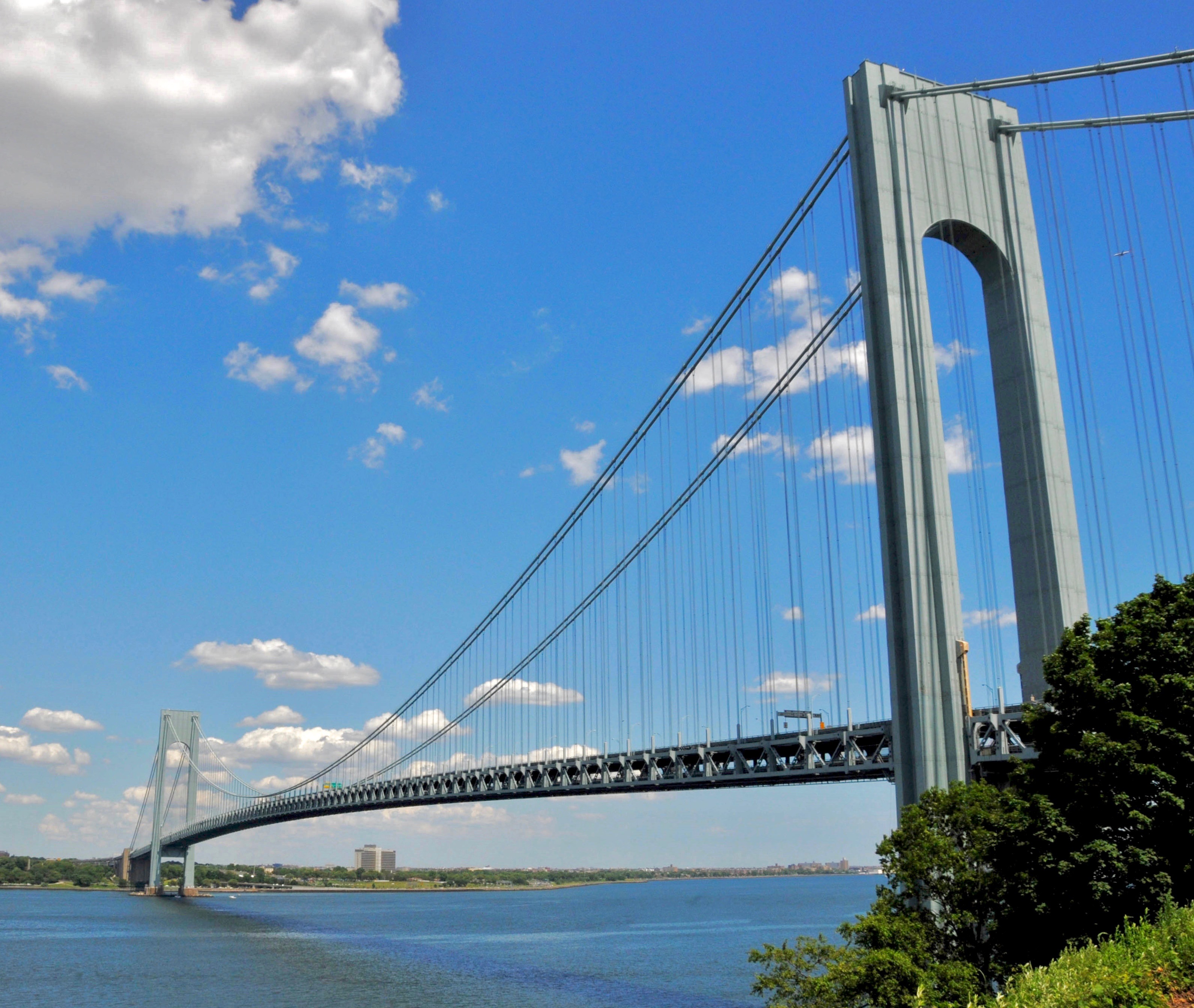
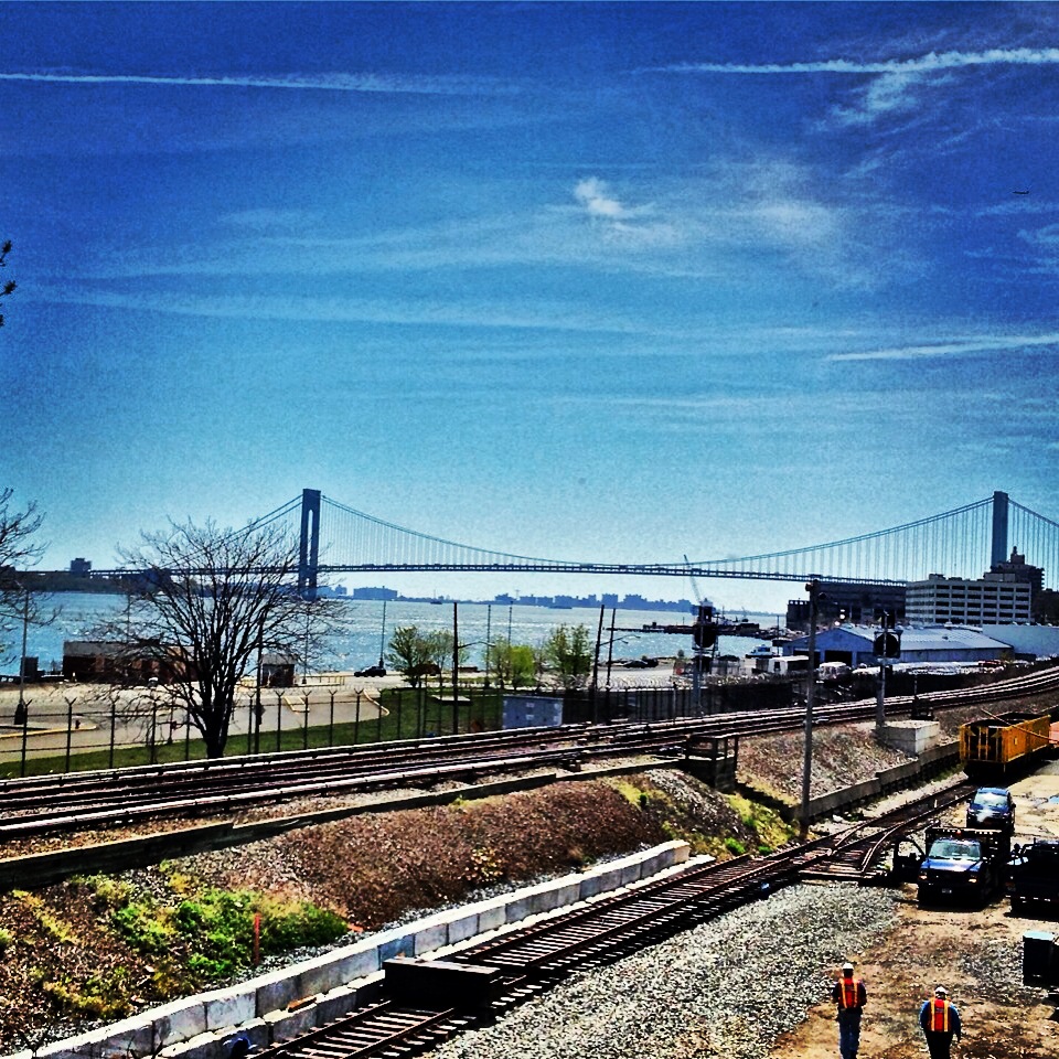
Fort Wadsworth is not only a former United States military installation on Staten Island’s north shore, it is also known as the residential neighborhood that surrounds the former fort. The neighborhood of Fort Wadsworth is located south of Rosebank, west of Shore Acres and north of South Beach. Bordering Fort Wadsworth to the north is The Narrows, which divide the New York Bay into the upper and lower halves. Fort Wadsworth offers a wide variety of old homes, new construction, townhouses and condos. Its prime location near the Verrazano-Narrows Bridge and other transportation options make for an easy commute, while its location near the water and within the vicinity of many parks makes for an easy getaway. Although mostly residential, the neighborhood of Fort Wadsworth sees thousands of visitors and tourists, as it is the start of the New York City Marathon and the end of the Five Boro Bike Tour.
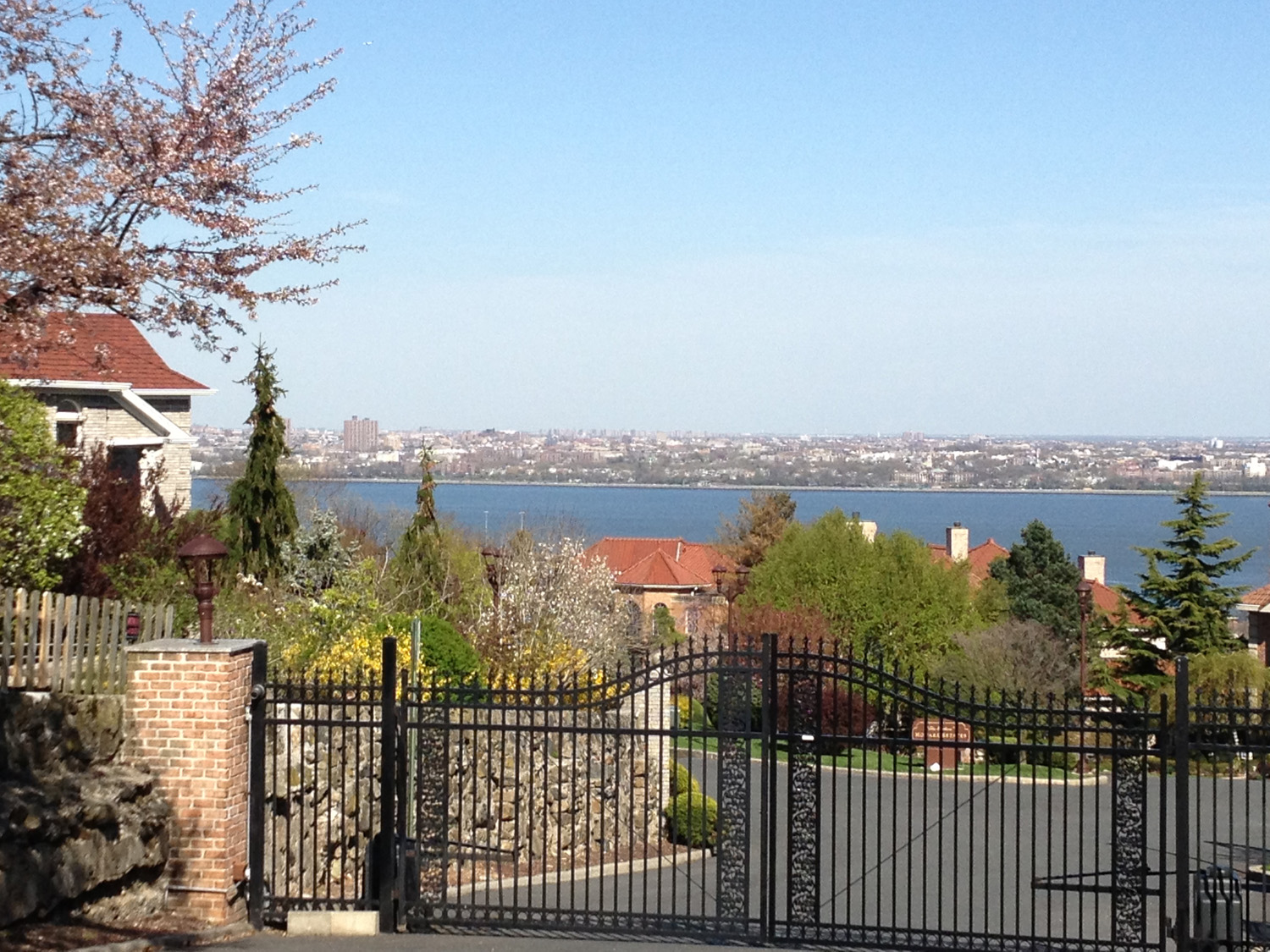
Grymes Hill is a North Shore neighborhood, which happens to be situated upon a hill by the same name. The Grymes Hill area is bordered on the west by Victory Boulevard, on the north by Cebra Avenue, and the south by Clove Road. Van Duzer Street and Richmond Road to the intersection of the Staten Island Expressway represent the final border. Named after Suzette Bosque Grymes, widow of the first governor of Louisiana who settled on Staten Island in 1836, Grymes Hill offers some of the most spectacular views of the Lower New York Bay and the Verrazano-Narrows Bridge. It is the second-highest point on Staten Island (Todt Hill being the highest) and is known for being the home of two post-secondary institutions: Wagner College and the Staten Island campus of St. John’s University. Much of Grymes Hill consists of private homes, many dating from the 1920s, but there are also several apartment buildings and garden apartments in the area.
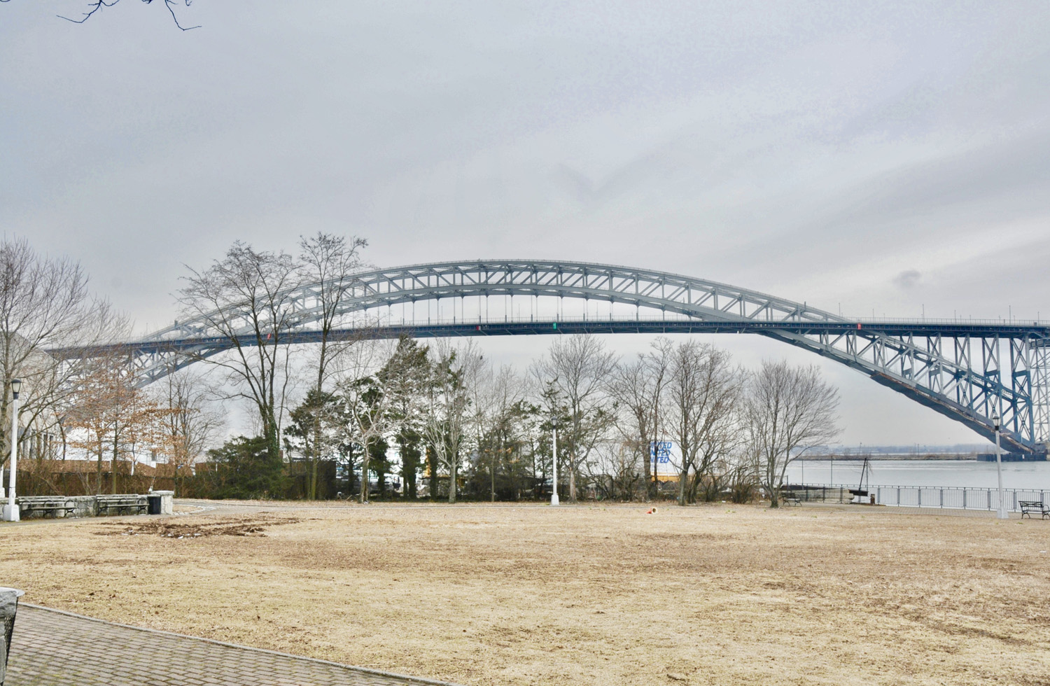
Port Richmond is located on the North Shore of Staten Island, situated along the waterfront of the Kill Van Kull. The Bayonne Bridge serves as the border between Port Richmond and Elm Park, which is to the west. Port Richmond is one of the oldest neighborhoods on the island and was an important transportation and industrial center in the 19th century. The neighborhood evolved from being a mixed Dutch and French settlement into a thriving waterfront industrial and transportation hub and eventually served as the prime ferry launch from Staten Island to New Jersey. It was a transfer port for freight and passengers traveling by boat between New York City and New Brunswick, New Jersey, and ferries ran continually from Port Richmond to New Jersey until shortly after the Bayonne Bridge was built in 1931. The area also became the site of an important stop on a coach route between the city and Philadelphia. In the 1880s, the Staten Island Railway built a North Shore branch with a stop in the village on Richmond Avenue, which had become the island’s main shopping area. Port Richmond Avenue, which has been known over the years as Church Road, Port Richmond Plank Road, Stone Road, and Richmond Avenue, was a busy commercial center.
Randall Manor is a North Shore neighborhood bound by Bard Avenue in the west, Henderson Avenue to the north, and Forest Avenue to the south, bordered between the neighborhoods New Brighton and West Brighton. The neighborhood is named after Captain Robert Richard Randall, the founder of Sailors Snug Harbor. Randall Manor is one of the North Shore neighborhoods that has been nearly unaffected by the construction boom that followed the opening of the Verrazano-Narrows Bridge in 1964. With close proximity to the St. George ferry terminal, along with the presence of many parks and cultural centers, Randall Manor remains one of the most desirable and attractive locations on the island. Randall Manor is served by a few local buses and an express bus, including the S48/98 and X30 that runs along Forest Avenue, the S46/96 that runs along Castleton Avenue, and the S44/94 that runs along Henderson Avenue.
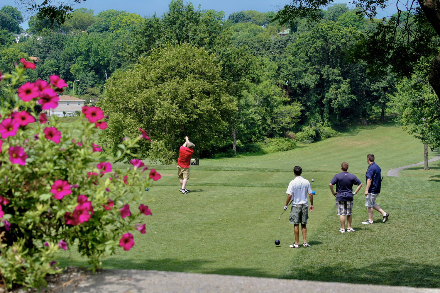
The Silver Lake neighborhood to the east and south features several large privately owned apartment buildings. Also included in the neighborhood on the other side of the adjacent Silver Lake golf course, a series of mostly dead-end streets located above Forest Avenue. At the top of Hart Blvd are the Silver Lake Tennis Courts. To the west of this neighborhood is Grymes Hill and Sunnyside. Silver Lake Park has many attractions, such as tennis courts, an 18 hole public golf course, a baseball field, a play area, and a dog run.
Snug Harbor is centrally located on the north shore of Staten Island. It borders the waters of the Kill Van Kull to the north, as well as the neighborhoods of St. George, West New Brighton, and Randall Manor. Once a home for retired seamen, this 83-acre park is now a National Historic Landmark District consisting of Greek Revival, Italianate and Victorian-style buildings. It is dominated by large, older homes built before 1900, and its streets are shaded by spreading oak and elm trees.
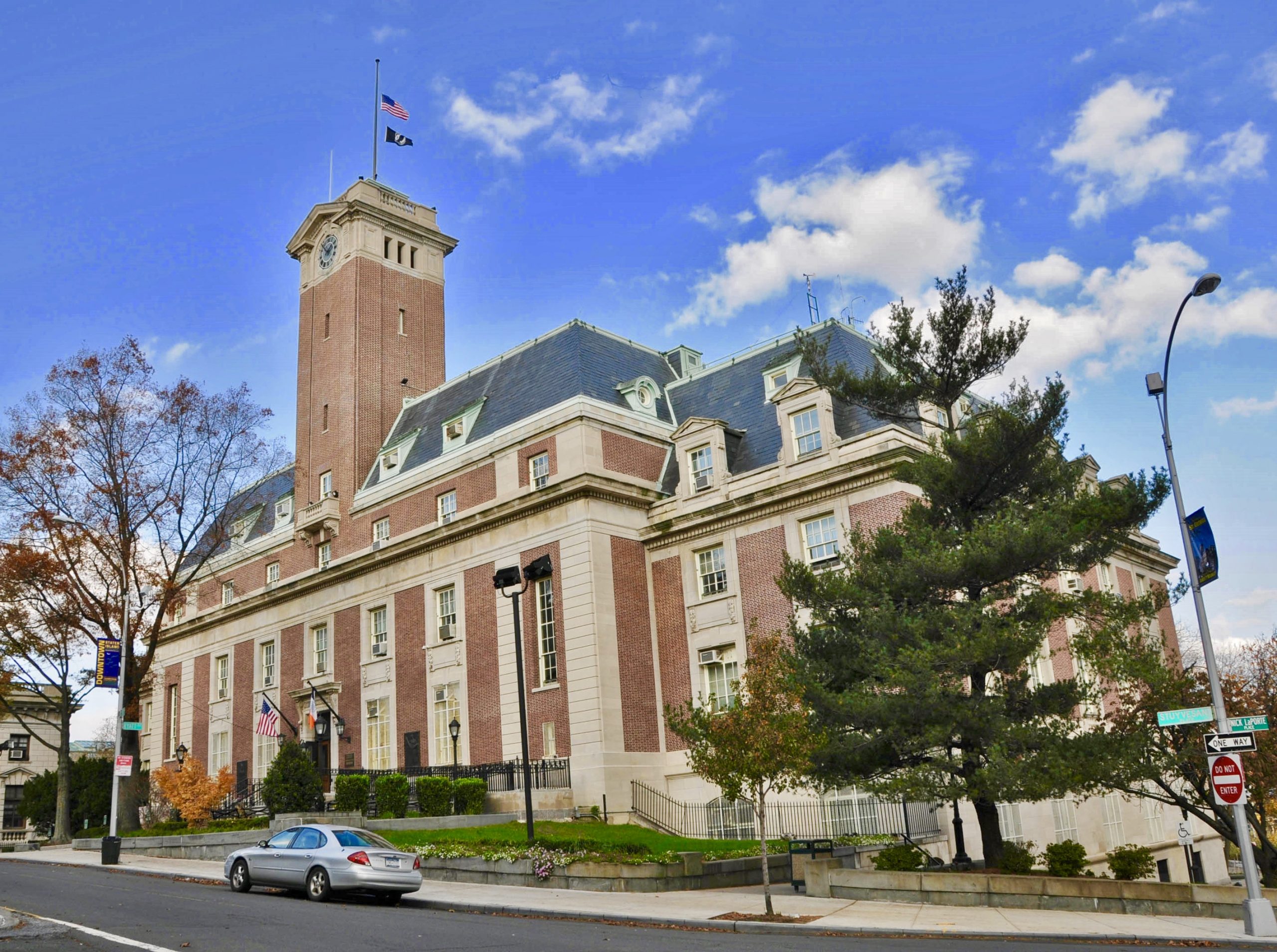
Located on the northeastern tip of Staten Island, St. George is the most densely developed and diverse neighborhood in Staten Island. Positioned where the Kill Van Kull enters the New York Bay, this neighborhood is known for being the administrative center of the borough, the central hub for transportation, and Staten Island’s downtown area. The area provides the perfect balance of culture, arts, and history and is currently undergoing a “renaissance” of revitalization and renewal. St. George offers quick access to Manhattan via the Staten Island Ferry and other areas of the borough via Staten Island Rapid Transit or bus service. For commuters who drive, a quick ride over the Verrazano Bridge will take you to Brooklyn or Manhattan. There are many housing options in the St. George area. Historic Victorian and Colonial homes and apartments residing in pre-war buildings add the perfect balance of history and culture among newly constructed homes and apartments. Offering a wide variety of restaurants, it is not uncommon to find authentic-themed restaurants, classic steakhouses, wine bars, coffee shops, and tapas bars only blocks away from one another.
Located in the northeastern section of Staten Island, the neighborhood of Stapleton borders the waterfront of Upper New York Bay, and is roughly bounded on the north by Tompkinsville at Grant Street, on the south by Clifton at Vanderbilt Avenue, and on the west by Grymes Hill at St. Paul’s Avenue and Van Duzer Street. Stapleton is one of the oldest waterfront neighborhoods in the borough, built in the 1830s on land once owned by the Vanderbilt family. Stapleton, like much of the Island’s north shore, has old, standalone homes that have been in the area since the Victorian era, as well as new developments such as condominiums and apartment buildings. Stapleton is also known for its vibrant street art, winding roads, used book stores, and coffee shops. The neighborhood also contains a huge diversity of restaurants, including an American-style diner, as well as Sri Lankan, Mexican, and Italian eateries.
Located in the Mid-Island region of Staten Island, Sunnyside is most famously known for its two parks: Clove Lakes Park and Silver Lake Park, that border on the west and east, respectively. The neighborhood is named for a boarding house that was established there in 1889 but was originally known as Clovenia or Clove Valley. Clove Road, which happens to be Sunnyside’s northern boundary, is also one of the island’s main thoroughfares. The southern boundary runs along the Staten Island Expressway. The neighborhoods of Grymes Hill, West Brighton, Castleton Corners, and Grasmere border Sunnyside. Sunnyside was once the home of the College of Staten Island campus, which was once located at the Michael Petrides Center. Now, the CSI campus is located at the former Willowbrook State School.
West Brighton: Situated along Staten Island’s North Shore, West Brighton borders New Brighton to the east, Port Richmond to the west, the waters of the Kill Van Kull to the north, and neighborhoods like Silver Lake, Westerleigh, and Castleton corners to the south. The neighborhood is roughly defined as the area around and to the northeast of Clove Road and Forest Avenue.
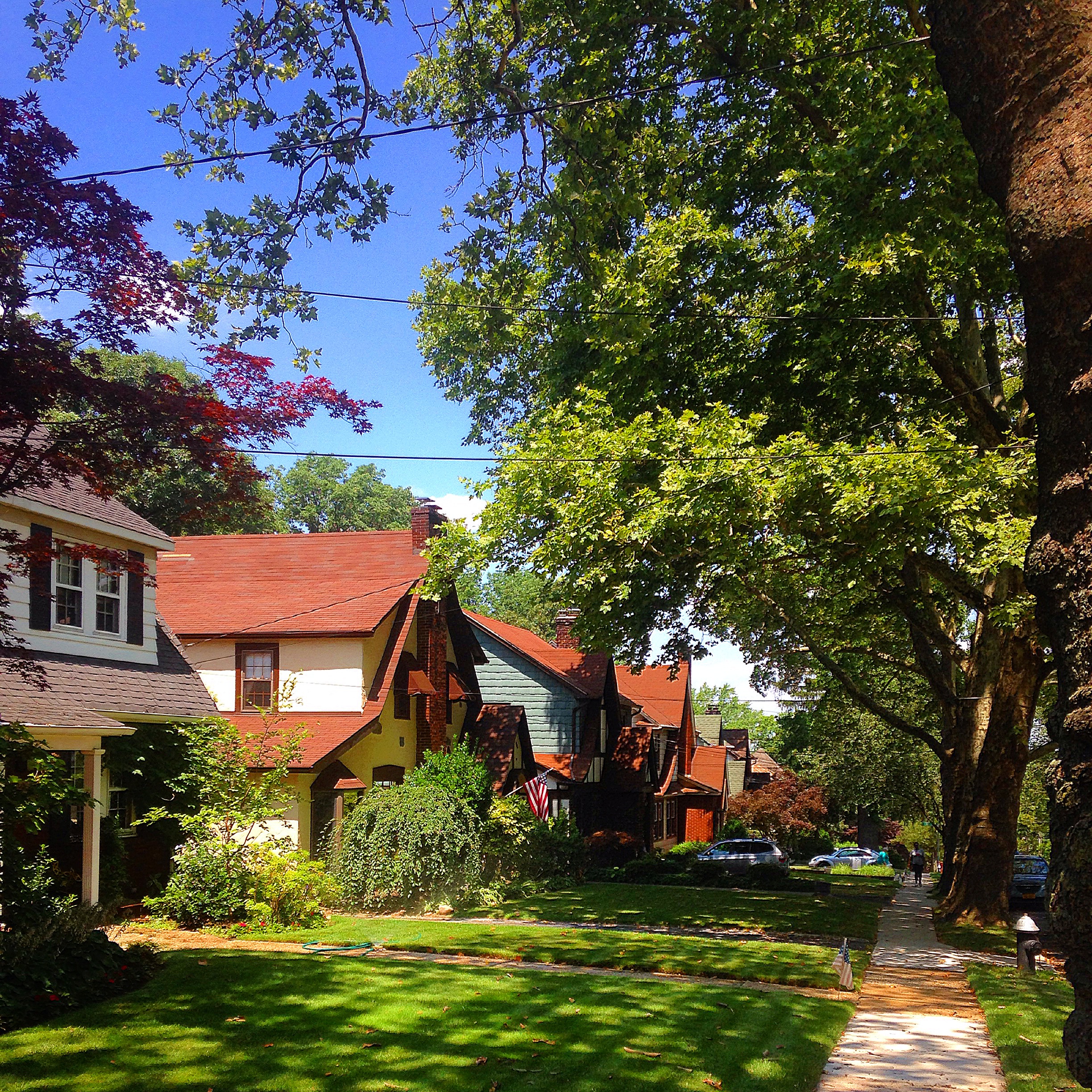
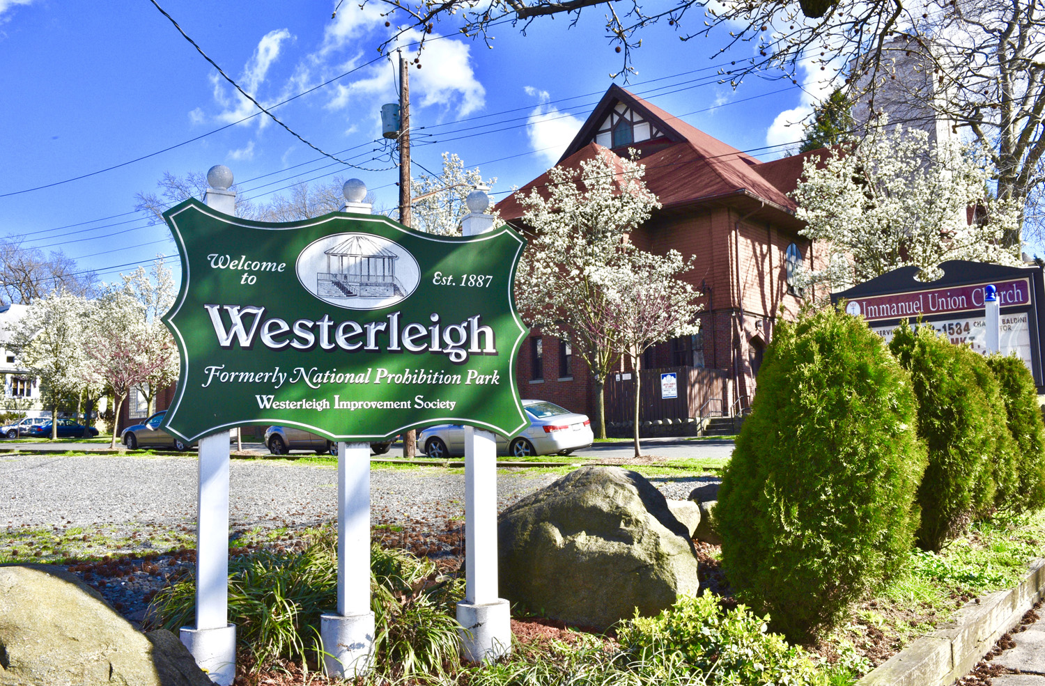
Westerleigh’s residential core and feel is that of small-town America. Tree-lined streets, historical homes, a ballpark, park, and a neighborly friendly atmosphere. Westerleigh is located in the northwest quadrant of Staten Island. Bounded in the east by Manor Road, the west by the Martin Luther King Jr. Expressway, the south by Victory Boulevard, and to the north by Forest Avenue, Westerleigh is a residential area of mostly single-family homes, with close access to the Staten Island Expressway as well as public transportation. Westerleigh is historically known for its role during the temperance movement. A temperance group called the National Prohibition Campground Association bought 25 acres of land in this area in 1877 and named the property “Prohibition Park.” Many of the local streets are actually named after early leaders of the Prohibition movement (Neal Dow, Clinton B. Fisk), or for states that supported anti-liquor laws (such as Maine and Ohio). Westerleigh Park acts as the unofficial “heart” of the North Shore neighborhood and hosts many community events, such as concerts and festivals.

Address: 400 Victory Boulevard, Suite C
Staten Island, NY 10301
Phone: (718) 702-6848

The opinions expressed on this blog are my own personal opinions. They do not reflect the opinions of the real estate company.
All images appearing on the Holly's Staten Island Buzz Realty web site are the exclusive property of Holly Wiesner Olivieri and are protected under the United States and International Copyright laws. The images may not be reproduced, copied, transmitted or manipulated without the written permission of Holly Wiesner Olivieri. Use of any image as the basis for another photographic concept or illustration (digital, artist rendering or alike) is a violation of the United States and International Copyright laws. All images are copyrighted © Holly Wiesner Olivieri.


